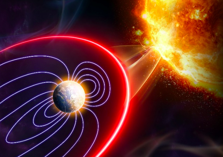
A few weeks ago, stories about new research on the melting of the Thwaites glacier in Antarctica made it into the news. ABC News reported:
Antarctica's melting ‘Doomsday glacier’ could raise sea levels by 10 feet, scientists sayThe loss of the Thwaites glacier could destabilize western Antarctica.One of Antarctica's most important glaciers is holding on "by its fingernails" as warming temperatures around the globe threaten to cause further deterioration, which could then destabilize the glaciers in the entire region.
The Thwaites glacier, located in the Amundsen Sea in western Antarctica, is among the fastest-changing glaciers in the region, according to scientists. Along with Pine Island, also located in the Amundsen Sea, the two structures are responsible for the largest contribution of sea level rise out of Antarctica.Now, scientists are finding that the Thwaites glacier, also known as the “Doomsday glacier,” is melting faster than previously thought as warm and dense deep water delivers heat to the present-day ice-shelf cavity and melts its ice shelves from below, according to a study published in Nature Geoscience on Monday.
Thwaites, which is about the size of Florida, has been known to be on a fast retreat. But researchers from the University of South Florida's College of Marine Science and the British Antarctic Survey mapped a critical area of the seafloor in front of the glacier that could contribute to faster melting in the future.
A proposed model for how Thwaites is retreating is shown below from the Nature Geoscience paper.
Fig. 5: Conceptual model for the formation of
ribs by tidally modulated grounding-line migration

a, Grounding at low water forms a rib by settling and sediment bulging/extrusion at the grounding line ahead of an ice plain. b, Subsequent grounding-line migration occurs during high water with the ice-shelf base displaced upwards and landwards by the tide, allowing contact with warm ocean water. Basal melting is enhanced by tidal mixing in the narrow cavity. c, Grounding line settles at new position on the next low water, creating a second rib in series. The amplitude and spacing of ribs is a function of tidal amplitude, which modulates the distance of retreat from ridge to ridge. Bottom: plot depicting typical diurnal tide cycle for a 48 h period at Thwaites Glacier. Intervals on x-axis correspond to 0.2 days (4.8 hours). a–c relate to positions on the tidal cycle. Triangles denote successive grounding-line positions. Note exaggerated vertical scale in all images; the true sea-floor expression of the ridges is subtle, with sea bed and ice bottom slopes only fractions of a degree.
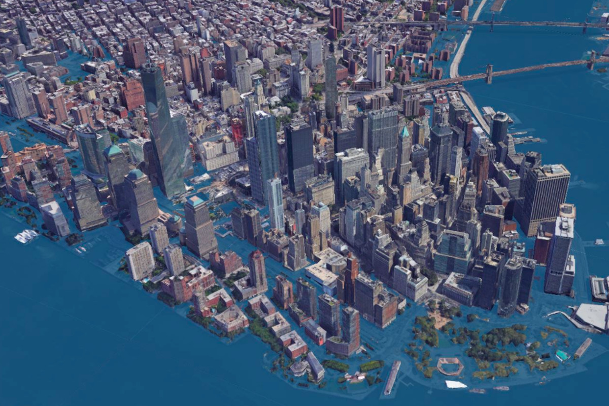
How this will probably play out
This interactive map shows what happens to coast lines when sea level rises in 1 foot increments up to a 10 foot rise. Personally, me and my family would be wiped out if Thwaites collapses. That would force me and my happy little family into either (i) a pulling ourselves up by our bootstraps situation if the Republicans were in power (the GOP’s standard go pound sand policy), or (ii) a hair previously on fire but now put out by water (Ahhh!! The water is too high -- do something!!) situation if the Democrats were in power. Either way, average people like me on the coasts would be royally hosed. There would be mass illegal immigration of tens of millions of Americans from the coasts moving or swimming to the American interior where true patriots and real heroes reside and continue to deny climate change and blame people on the coasts for not planning better.
Not long from now, maybe within ~10 years, the costs of climate change denial, dither and blither are going to gigantically increase. Tens of trillions in property and infrastructure will sink into the sea and become new habitat for fish, barnacles, seaweed, other sea critters, and waste plastic. The Republicans will confidently blame the Democrats and socialism, pointing to how well untaxed, unregulated free markets protected us. Executives of oil companies and other profit from pollution companies, and rich people on the coasts will move to higher ground and deny any knowledge of, and responsibility for, anything.
Much finger pointing, lying, blame shifting and blithering crackpottery will ensue, resulting in a cornucopia of disaster and paralysis. A veritable festival of failure.

Brought to you by Germaine, bringer of important news everyone wants to hear about
Germaine’s motto: Please don’t shoot the messenger!